Welcom by MAS-MapLink
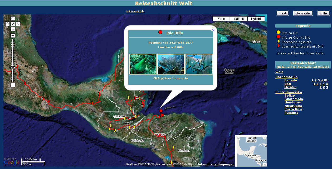
MAS-MapLink has been created to show the route and pictures of my trip around the world .
It allows displaying of polylines and markers in Google-Maps.
The data is stored in textfile(s).
The look and behaver can be changed by editing the CSS- and INI-file.
Creating of routes and markers can be done by clicking on the map and pasting the created textstring into the data-file. I myself use the tracked route data of my GPS. After simplifying the route, I convert it using an excel-spreadsheet.
Try it yourself
You can download the needed files onto your computer and try it yourself.
Note: There are no manuals yet so use 'try and error'.
To use it on a web-server you have to be a registred user.
Apply here (A donation might be expected :-))
|
|